top

uk-dinosaur-island.20m.com

bottom
The Isle of Wight...... The Dinosaur Island !

| Home PageGeology & Palaeoenvironment | Fauna (dinosaurs!) Section |
| A guide to the Isle of Wight | Links & Contact Page | References & suggested reading.|

Location Maps for the Island, MAP 1.

  Map 1

Location:-Hanover Pt & Brook Beach.

Geology & Fossils
 Data to be added.

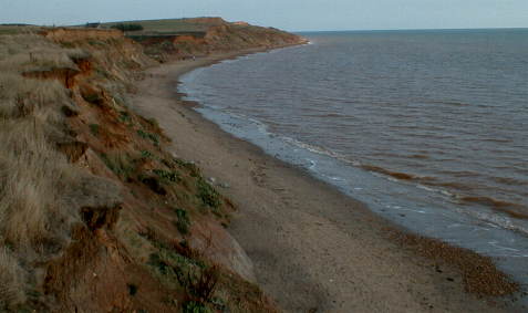
Looking west from Brook Chine to Hanover Point, with Freshwater Down cliffs in distance.

A view from near Brook chine, looking West towards Hanover Point. Almost high tide and the tower can be seen in the top left of the picture. This is the area that dinosaur footprints can be viewed at low tide.

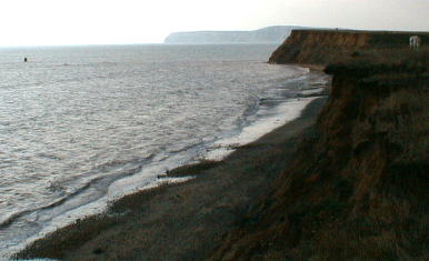
View across Brook Chine towards Sudmoor Pt.

A view looking East past Brook chine to Sudmoor Pt.

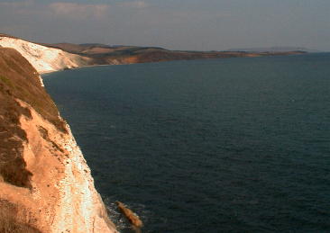
View from the Freshwater Down road looking East along the SouthEastern coast of the island.

View East from the cliff top near Freshwater Bay.

>>>>Back to Maps Index.<<<<


The information contained within these pages is the combined knowledge of the contributors and the authors of the material referenced. We welcome papers and articles which would expand the collective information contained herein. They need not be formal documents, but please reference any sources and acknowledge any material used. If it is your own view on some subject area, please indicate so. Let the site grow to 'sauropodian' extremes.

Webmaster:- Alex Blades

Editor:- Gabi Hullmann

Please direct correspondence to:-

Website related items to:- webmaster@uk-dinosaur-island.20m.com

Editorial contributions to:- editor@uk-dinosaur-island.20m.com


uk-dinosaur-island@uk-dinosaur-island.20m.com

© 2001 uk-dinosaur-island and editorial contributors.

For more information contact: uk-dinosaur-island@uk-dinosaur-island.20m.com